Python in Sustainable Urban Transportation Planning

Python in Sustainable Urban Transportation Planning
Introduction
Python in Sustainable Urban Transportation Planning is a powerful tool that can be used to analyze and model various aspects of transportation systems. From optimizing traffic flow to designing efficient public transit networks, Python offers a wide range of libraries and functions that make it an ideal language for transportation planning. In this article, we will explore some of the key applications of Python in sustainable urban transportation planning.
Brief Explanation of Python in Sustainable Urban Transportation Planning
Python, a versatile and powerful programming language, plays a crucial role in sustainable urban transportation planning. Its extensive capabilities in data analysis, spatial analysis, and predictive analytics make it an invaluable tool for addressing complex urban transportation challenges.
Importance of Data Analysis in Urban Planning and Python's Role
In the realm of urban planning, data analysis serves as the cornerstone for informed decision-making. It enables planners to extract actionable insights from diverse datasets, ranging from social media trends to IoT sensor readings. Python empowers planners to harness this wealth of data through its rich ecosystem of libraries and tools, making it a valuable asset for processing and interpreting urban transportation data.
Overview of Python's Application in Spatial Analysis and Predictive Analytics
Python's application extends beyond basic data manipulation. It is instrumental in spatial analysis, allowing planners to visualize and interpret geographical patterns critical for understanding urban dynamics. Moreover, Python facilitates predictive analytics, enabling planners to forecast future trends and outcomes based on historical data. These capabilities are pivotal for devising sustainable urban transportation solutions that align with long-term societal needs and environmental objectives.
Why Python?
Python has become increasingly popular among urban transportation planners due to its versatility and powerful capabilities in data analysis, spatial analysis, and predictive analytics. Here are some key reasons why Python is the preferred programming language for sustainable urban transportation planning:
1. Easy to Learn and Use
Python has a simple and intuitive syntax that makes it easy for beginners to learn and use. Its readability and clean code structure make it an ideal choice for urban transportation planners who may not have extensive programming experience. With Python, you can quickly prototype and implement solutions without getting bogged down by complex syntax.
2. Extensive Libraries for Data Analysis
Python offers a vast ecosystem of libraries specifically designed for data analysis tasks. Libraries such as NumPy, Pandas, and Matplotlib provide efficient data manipulation, analysis, and visualization capabilities. These libraries allow planners to process large datasets, perform statistical analyses, create visualizations, and derive meaningful insights from urban transportation data.
3. Integration with Geographic Information Systems (GIS)
Python seamlessly integrates with popular Geographic Information System (GIS) tools such as ArcGIS, QGIS, and GeoPandas. This integration enables planners to leverage spatial data and perform spatial analysis tasks such as routing optimization, land use analysis, and infrastructure planning. By combining Python's analytical capabilities with GIS tools, planners can gain valuable insights into the spatial aspects of urban transportation planning.
4. Machine Learning and Predictive Analytics
Python's extensive library ecosystem includes powerful machine learning frameworks such as Scikit-learn and TensorFlow. These libraries enable planners to develop predictive models that can forecast traffic patterns, predict demand for public transportation services, or optimize traffic flow. By harnessing the power of machine learning algorithms in Python, planners can make informed decisions based on data-driven predictions.
5. Open-Source Community Support
One of the greatest advantages of Python is its vibrant open-source community. Urban transportation planners can tap into a vast network of developers, researchers, and practitioners who contribute to the development of Python libraries and tools. This community support ensures that planners have access to the latest advancements, best practices, and code snippets for solving specific urban transportation planning challenges.
6. Scalability and Performance
Python's scalability and performance have improved significantly over the years. With libraries like Dask and Apache Spark, planners can efficiently process large-scale datasets in a distributed computing environment. The ability to scale up Python-based solutions ensures that planners can handle ever-increasing amounts of urban transportation data without sacrificing performance.
7. Flexibility for Customization
Python's flexibility allows planners to customize their analysis workflows to suit their specific needs. Whether it's developing custom algorithms, integrating with external APIs or databases, or creating interactive dashboards, Python provides the necessary tools and flexibility to tailor solutions to unique urban transportation planning requirements.
Python offers a wide range of benefits for sustainable urban transportation planning. Its ease of use, extensive libraries, integration with GIS tools, machine learning capabilities, open-source community support, scalability, and flexibility make it an indispensable tool
Urban Transportation Planning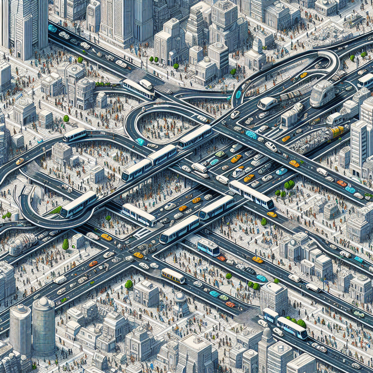
Urban transportation planning is essential for ensuring efficient and sustainable movement in cities. It involves various activities aimed at developing and improving transportation systems to meet the needs of a growing population while minimizing environmental impact and maximizing efficiency.
Importance of Urban Transportation Planning
- Mobility: Urban transportation planning focuses on optimizing accessibility and connectivity within cities, enabling individuals to travel conveniently between various locations for work, leisure, and other purposes.
- Environmental Impact: It aims to mitigate the environmental consequences of transportation by promoting eco-friendly modes of travel and reducing traffic congestion, air pollution, and carbon emissions.
- Economic Development: Effective transportation systems are essential for supporting economic growth by facilitating the movement of goods and services and enhancing connectivity between businesses, markets, and consumers.
Challenges in Urban Transportation Planning
- Traffic Congestion: Managing traffic flow to prevent congestion is a major challenge in urban areas due to a high volume of vehicles competing for limited road space.
- Sustainability: Balancing transportation needs with environmental sustainability goals poses a significant challenge, especially in densely populated urban environments.
- Infrastructure Development: Planning for infrastructure development, including roads, public transit systems, bike lanes, and pedestrian walkways, requires careful consideration of space utilization and long-term urban growth.
Data-Driven Decision Making
Data analysis plays a crucial role in informing decision-making processes in urban transportation planning. By using data from various sources such as social media, government documents, IoT devices, sensors, and traditional traffic monitoring systems, planners can gain valuable insights into travel patterns, public sentiment towards transportation initiatives, infrastructure usage, and environmental impacts.
Role of Python in Urban Transportation Planning
Python is a powerful tool for handling the complex data sets involved in urban transportation planning. Its versatility and extensive libraries enable planners to perform advanced data analysis tasks such as predictive modeling, spatial analysis, and real-time monitoring. Moreover, Python's capabilities align well with the evolving landscape of smart city initiatives that prioritize sustainable transportation solutions driven by data-driven insights.
Python in Sustainable Urban Transportation Planning
Python plays a crucial role in sustainable urban transportation planning, offering powerful tools for data analysis, spatial analysis, and predictive analytics. By leveraging Python's capabilities, urban planners can gain valuable insights into various aspects of transportation and infrastructure development, leading to more informed decision-making processes and the creation of efficient and sustainable urban environments.
Utilizing Python for Data Analysis
In the context of sustainable urban transportation planning, Python serves as a versatile platform for analyzing diverse sources of data, including social media data, government documents, and IoT devices and sensors. Its extensive libraries such as NumPy, Pandas, and Matplotlib enable efficient data processing, visualization, and interpretation. Through Python, planners can extract valuable information related to citizen behavior, environmental conditions, traffic patterns, energy consumption trends, and more.
Spatial Analysis and Predictive Analytics
Python's capabilities extend to spatial analysis and predictive analytics, allowing planners to understand spatial patterns and make future projections essential for effective urban planning. By employing Python for spatial planning and land use analysis, urban planners can analyze land use patterns to inform infrastructure development decisions. Additionally, Python offers modeling and simulation techniques for optimizing traffic flow and analyzing energy efficiency metrics to support the development of smart city initiatives.
Role in Smart City Development
Python is integral to the development of smart cities by supporting initiatives focused on energy-efficient infrastructure design, waste management techniques, improving public services, as well as designing databases for smart city applications. Through Python's integration with IoT platforms/protocols for sensor data analysis and machine learning algorithms, urban planners can gather insights that drive informed decision-making and optimize infrastructure in sustainable urban transportation planning.
Python serves as a powerful ally in sustainable urban transportation planning by enabling comprehensive data analysis across various domains, facilitating spatial analysis for informed decision-making processes, and contributing to the development of smart cities with efficient infrastructure design. Its versatility empowers planners to extract valuable insights from diverse sources of data and utilize predictive analytics techniques for future-oriented urban development.
The future growth of Python in shaping sustainable urban transportation planning holds immense potential for driving innovation and addressing the challenges associated with urbanization. As technology continues to evolve, Python is poised to play an increasingly pivotal role in fostering sustainability and resilience in urban environments.
Python in Data Analysis for Urban Planning
Data analysis plays a crucial role in informing decision-making processes in urban planning. By analyzing and interpreting data, planners can gain valuable insights into various aspects of urban transportation, such as traffic patterns, energy consumption trends, citizen behavior, and environmental conditions. Python programming language offers several key benefits for conducting data analysis tasks in the field of urban planning.
Collecting and Cleaning Data with Python
Effective collection and cleaning of data are essential to ensure data quality and integrity in urban planning projects. Python provides numerous techniques and libraries that facilitate these processes. Some specific techniques commonly used for data collection and cleaning in urban planning include:
- Web Scraping: Python libraries such as BeautifulSoup and Scrapy enable the scraping of relevant data from websites and online databases. For example, planners can extract information on public transportation schedules or land use policies from government websites.
- Data Extraction from APIs: Many organizations provide Application Programming Interfaces (APIs) to access their data. Python's requests library allows planners to interact with these APIs and retrieve relevant information directly into their analysis workflow.
- Data Cleaning: Python's pandas library offers powerful tools for data cleaning tasks, including handling missing values, removing duplicates, standardizing formats, and detecting outliers.
By utilizing Python for data collection and cleaning, planners can ensure that the data they analyze is accurate, complete, and reliable.
Analyzing Social Media Data with Python
Social media platforms have become valuable sources of insights for understanding public perceptions and behaviors related to transportation issues. Python provides various approaches to analyze social media data effectively. Some techniques include:
- Sentiment Analysis: Using Python's Natural Language Processing (NLP) libraries such as NLTK or spaCy, planners can analyze social media posts to understand the sentiment associated with specific transportation projects or policies. This analysis helps gauge public opinion and identify potential areas of concern or support.
- Network Analysis: Python's networkx library allows planners to analyze the connections between users or groups on social media platforms. By examining the network structure, planners can identify influential individuals or organizations and understand their impact on transportation-related discussions.
- Topic Modeling: Python's gensim library enables planners to perform topic modeling on social media data. This technique helps identify prevalent themes or topics in transportation-related discussions, providing insights into public interests and concerns.
By leveraging Python for social media data analysis, planners can gain valuable insights into public perceptions and behaviors, enabling them to make more informed decisions in urban transportation planning.
Analyzing Government Documents with Python
Government documents such as policy reports and public records are crucial for evidence-based policy development in urban transportation planning. Python offers various methods and tools for extracting useful information from these sources through automated means. Some techniques include:
- Text Extraction: Python's libraries, such as textract or PyPDF2, enable planners to extract text from PDFs or scanned documents. This extraction process allows for further analysis of the textual content within these government documents.
- Entity Recognition: Python's spaCy library provides named entity recognition capabilities, allowing planners to identify key entities mentioned in government documents. For example, identifying specific infrastructure projects or policy initiatives relevant to urban transportation planning.
- Text Mining: Python's libraries, such as scikit-learn or nltk, offer a range of text mining techniques such as keyword extraction and text summarization. These techniques help planners efficiently process large volumes of textual information from government documents.
By harnessing the power of Python for government document analysis, planners can extract relevant information more efficiently and make evidence-based decisions in urban transportation planning.
Analyzing IoT Devices and Sensors Data with Python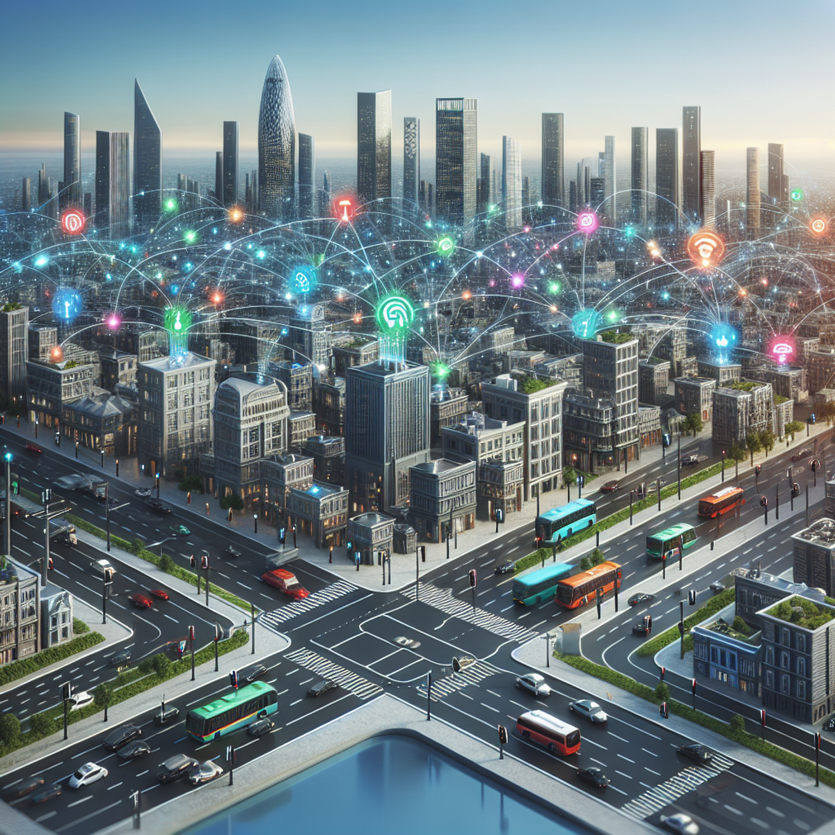
The emerging field of Internet of Things (IoT) has significant implications for urban planning, especially in the context of transportation management. IoT devices and sensors collect vast amounts of data related to traffic flow, air quality, energy consumption, and more. Python can be utilized to analyze this data and gain valuable insights for decision-making processes in real time. Some applications include:
- Traffic Flow Analysis: Python's libraries such as Pandas and NumPy enable planners to analyze data collected from IoT devices and sensors to understand traffic patterns, congestion hotspots, and travel times. This analysis helps identify areas for improvement in transportation infrastructure.
- Environmental Monitoring: Python can be used to process and analyze sensor data related to air quality, noise levels, or temperature. By analyzing this data, planners can identify environmental conditions that impact urban transportation planning decisions.
- Real-time Decision Making: Python's integration with IoT platforms and protocols allows for the seamless analysis of sensor data in real time. Planners can use this analysis to make informed decisions regarding traffic management, energy efficiency measures, or emergency response systems.
By leveraging Python for analyzing IoT devices and sensors data, planners can gain valuable insights into transportation patterns and make informed decisions for efficient and sustainable urban planning.
Python's versatility and extensive libraries make it a powerful tool for data analysis in urban planning. From collecting and cleaning data to analyzing social media posts, government documents, and IoT device data, Python enables planners to extract meaningful insights that inform their decision-making processes. By harnessing the power of Python in data analysis, urban planners can make evidence-based decisions that contribute to sustainable urban transportation planning.
Spatial Analysis and Predictive Analytics with Python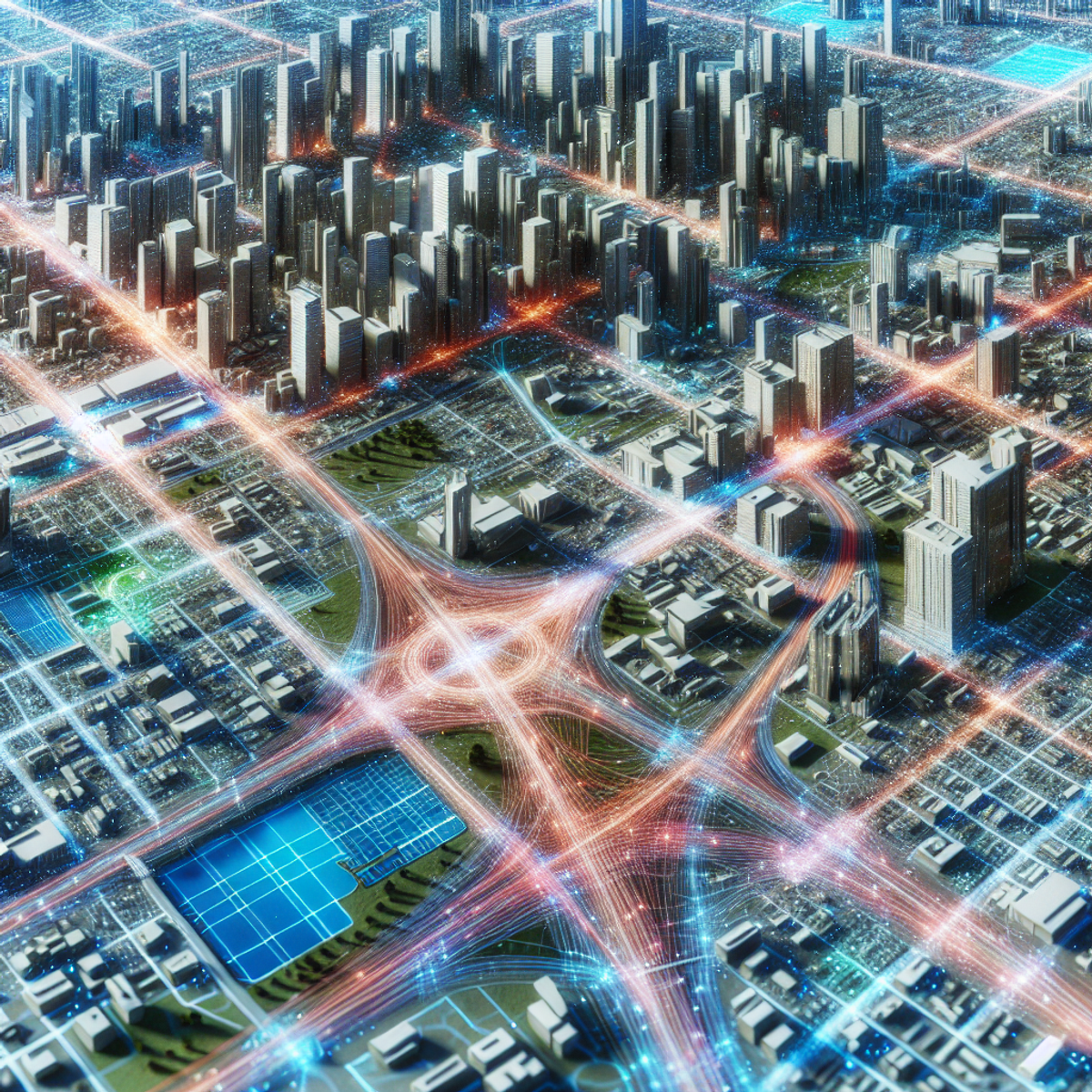
Spatial analysis and predictive analytics are powerful techniques used in urban planning to understand spatial patterns and make future projections. Python provides a versatile set of tools for conducting spatial analysis and implementing predictive analytics models in the field of sustainable urban transportation planning. Let's explore some key applications of Python in this domain:
1. Spatial Planning for Land Use Analysis with Python
Spatial planning plays a crucial role in ensuring efficient and sustainable transportation systems. By analyzing land use patterns, planners can make informed decisions about infrastructure development and allocate resources effectively. Python can be applied to analyze spatial data related to land use and inform decision-making processes.
- Using Python libraries such as GeoPandas and Shapely, planners can extract land use information from geographic datasets and perform various spatial operations.
- They can identify areas suitable for transit-oriented development, assess the impact of land use changes on transportation networks, or evaluate the accessibility of different neighborhoods.
Case Study: Analyzing Land Use Patterns in San Francisco
In a recent study conducted by researchers at the University of California, Python was used to analyze land use patterns in San Francisco. By combining demographic data with geographic information, they were able to identify areas with high potential for mixed-use development, which would promote sustainable transportation options.
2. Traffic Flow Optimization with Python
Managing traffic congestion is a major challenge in urban areas. Python offers various modeling and simulation techniques that can help optimize traffic flow and improve transportation efficiency.
- By leveraging Python libraries such as NetworkX and Pandana, planners can build network models to simulate traffic scenarios and test different strategies for congestion mitigation.
- These models take into account factors like road capacity, travel demand, traffic signal timing, and public transit routes to find optimal solutions.
Real-world Example: Predicting Traffic Flow Impact in Stockholm
The city of Stockholm implemented a congestion pricing scheme to reduce traffic congestion and improve air quality. Python was used to develop a simulation model that predicted the impact of different pricing scenarios on traffic flow. The model helped policymakers make informed decisions about implementing the congestion pricing scheme.
3. Energy Efficiency for Smart Cities with Python
Energy consumption, environmental sustainability, and urban transportation are closely linked. Python can be used to analyze energy efficiency metrics and propose measures for reducing carbon emissions in the context of smart city initiatives.
- With Python libraries such as Pandas and Matplotlib, planners can analyze energy consumption data from various sources, including transportation systems, buildings, and public services.
- They can identify patterns and trends in energy usage, assess the effectiveness of existing energy-saving measures, and develop strategies to optimize energy efficiency in urban areas.
Research Findings: Analyzing Energy Consumption Data from a Smart City Project
A study conducted by researchers at the University of Cambridge used Python to analyze energy consumption data from a smart city project. By integrating data from transportation systems, buildings, and IoT sensors, they were able to identify opportunities for improving energy efficiency and reducing carbon emissions.
Python's capabilities in spatial analysis and predictive analytics make it an invaluable tool for sustainable urban transportation planning. By leveraging these techniques, planners can make informed decisions about land use, optimize traffic flow, and promote energy-efficient infrastructure development. The versatility of Python's libraries allows for efficient data processing, visualization, and modeling, enabling planners to address complex challenges in urban planning effectively.
Future Growth of Python in Urban Planning
Discussing Potential Opportunities and Challenges
The potential opportunities and challenges that lie ahead for Python's role in shaping the future of sustainable urban transportation planning need to be carefully considered. The scalability and flexibility of 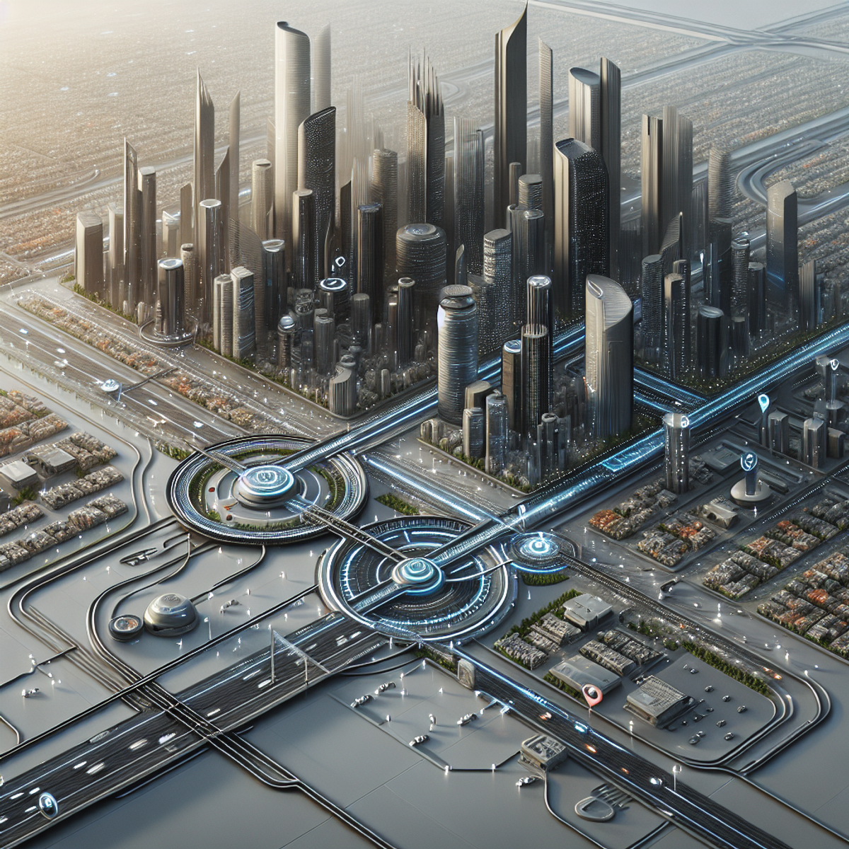 Python make it well-suited for analyzing large-scale urban data sets. However, challenges such as data privacy, standardization, and interoperability between different smart city systems need to be addressed. Additionally, ensuring equitable access to technology and addressing potential biases in data analysis are crucial for inclusive urban planning. Despite these challenges, Python's potential to revolutionize sustainable urban transportation planning is undeniable.
IoT Devices and AI-driven Solutions
Explore the potential benefits that can be realized through the synergistic integration of IoT devices, sensor technologies, and Python-based analytics in enabling smarter and more efficient transportation systems.
- Acknowledge the need to address privacy and security concerns associated with increased data connectivity in urban environments.
Real-time Data Analytics with Python
Highlight the growing importance of leveraging real-time data streams from sources such as GPS sensors or mobile applications for dynamic transportation planning and management.
- Discuss specific techniques or tools that Python provides for processing and analyzing streaming data.
Handling Big Data Sets with Python
Recognize the inherent challenges of working with large and complex urban datasets.
- Explore how Python libraries like Pandas and NumPy can be utilized for efficient storage, processing, and analysis of big data in the context of urban planning projects.
Leveraging Big Data in Smart Cities
Emphasize the significance of leveraging big data in smart cities as a comprehensive approach to urban planning, where Python's capabilities can play a crucial role.
Conclusion
Python is an invaluable tool for sustainable urban transportation planning, allowing planners to harness the power of data analysis, spatial analysis, and predictive analytics to make informed decisions and drive innovation.
By leveraging Python's extensive libraries and frameworks, such as NumPy, Pandas, Matplotlib/Seaborn, Scikit-learn, and TensorFlow, urban planners can efficiently process and visualize large datasets, build predictive models, and gain valuable insights into various aspects of transportation planning.
The integration of Python with IoT platforms and protocols enables the analysis of sensor data from IoT devices, providing real-time information on environmental conditions, energy consumption trends, traffic patterns, and citizen behavior.
Python is also instrumental in optimizing traffic flow, analyzing land use patterns for infrastructure development decisions, and promoting energy efficiency in the context of smart city initiatives.
Through the analysis of social media data and government documents using Python, urban planners can gain insights into public perceptions and behaviors related to transportation issues and utilize evidence-based policy development.
Python's flexibility makes it a powerful tool for handling big data sets in urban planning projects. Libraries like Pandas and NumPy allow efficient storage, processing, and analysis of large and complex urban datasets.
As we look to the future of sustainable urban transportation planning, there are several areas where Python is expected to play a significant role:
- The synergistic integration of IoT devices, sensor technologies, and Python-based analytics holds immense potential for enabling smarter and more efficient transportation systems. However, privacy and security concerns associated with increased data connectivity need to be addressed.
- The ability to leverage real-time data streams from sources like GPS sensors or mobile applications will become increasingly important for dynamic transportation planning and management. Python offers specific techniques and tools for processing and analyzing streaming data.
- With the ever-increasing volume of data generated in urban environments, handling big data sets will continue to be a challenge. Python's libraries and frameworks will be crucial in efficiently managing and analyzing these large and complex datasets.
The future of sustainable urban transportation planning relies heavily on data-driven decision-making, innovation, and collaboration. Python, with its versatility, extensive libraries, and powerful analytics capabilities, is well-positioned to continue playing a pivotal role in shaping the future of urban planning.
FAQs (Frequently Asked Questions)
What is the importance of data analysis in urban planning?
Data analysis plays a crucial role in informing decision-making processes in urban planning. It helps urban planners and policymakers to understand trends, patterns, and behaviors related to transportation issues, which in turn enables them to make evidence-based decisions for sustainable urban development.
How does Python contribute to data analysis for urban planning?
Python offers several key benefits for conducting data analysis tasks in the field of urban planning. It provides a wide range of libraries and tools for collecting, cleaning, and analyzing data, making it an efficient and versatile language for processing large datasets commonly encountered in urban planning projects.
What are some specific techniques or libraries commonly used for data collection and cleaning in urban planning projects with Python?
Some specific techniques or libraries commonly used for data collection and cleaning in urban planning projects with Python include methods for ensuring data quality and integrity, as well as various libraries such as Pandas and NumPy which facilitate efficient data manipulation and cleaning processes.
How can Python be utilized for analyzing data collected from IoT devices and sensors in the context of transportation management?
Python can be utilized for analyzing data collected from IoT devices and sensors to gain valuable insights and support decision-making processes in real time. It offers tools and techniques for processing large volumes of sensor data, extracting meaningful information, and identifying patterns that can inform transportation management strategies.
What is the concept of spatial analysis and predictive analytics in the context of urban planning?
Spatial analysis and predictive analytics are powerful techniques used in urban planning for understanding spatial patterns and making future projections. They enable planners to assess land use patterns, optimize traffic flow, analyze energy efficiency metrics, and propose measures for reducing carbon emissions in the context of smart city initiatives.
What are some potential opportunities and challenges for the future growth of Python's role in sustainable urban transportation planning?
Some potential opportunities include the synergistic integration of IoT devices, sensor technologies, and Python-based analytics for enabling smarter transportation systems. However, challenges such as addressing privacy and security concerns associated with increased data connectivity in urban environments also need to be considered.


Comments
Post a Comment